WHAT WE OFFER
Explore Our Survey Services
We offer comprehensive range of surveying and mapping services. From accurate land surveys to intricate digital mapping
solutions, and experience the difference that dedication to quality can make.

Topographical Survey
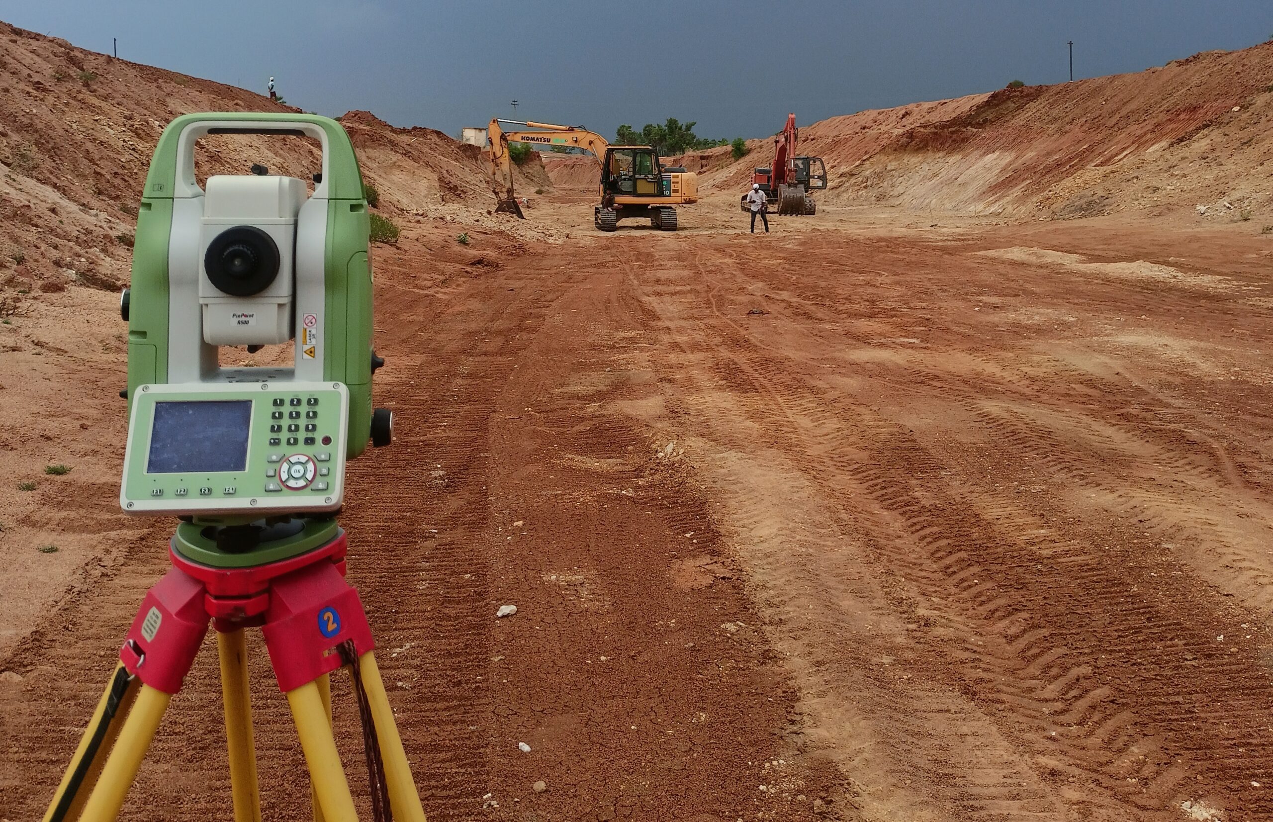
A topographical survey is a detailed mapping process that captures and illustrates the physical features of a land area, including its contours, elevations, and natural or man-made features.

Contour Survey
A Contour Survey measures the elevation points on a piece of land to create contour lines. These lines connect points of equal elevation, providing a detailed representation of the terrain’s shape and elevation.

Land Survey
It involves determining the boundaries, contours, and characteristics of the land, as well as the location of structures and improvements. We use specialized equipment and techniques to gather accurate data.

Road Survey
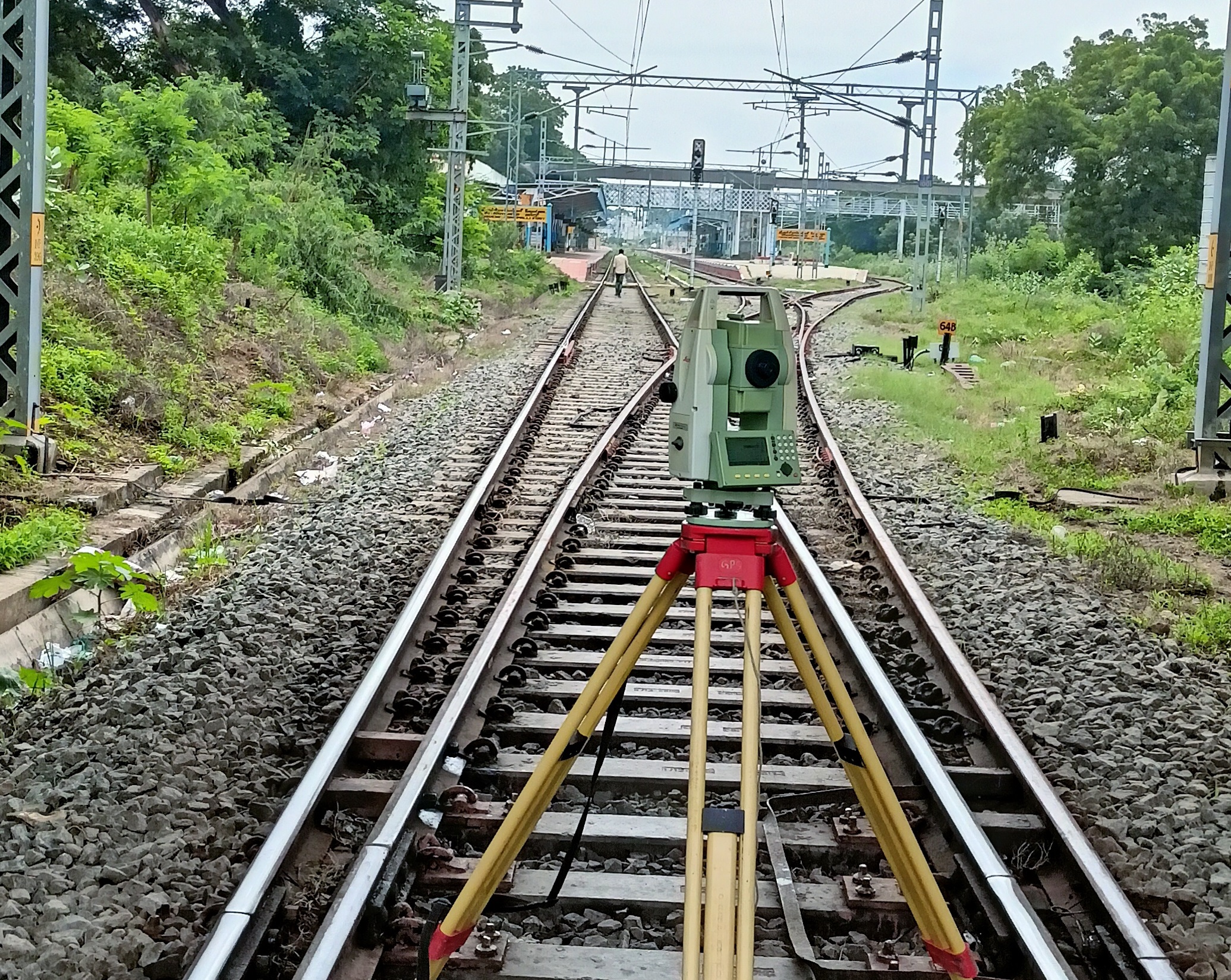
Road survey refers to the process of systematically collecting, analyzing, and documenting information related to a road or highway. It may include road geometry, signage, traffic flow, and safety features.

Irrigation Survey
Optimize your agricultural efficiency with our irrigation surveys. We provide precise assessments to enhance water management, ensuring your crops thrive with the right balance of hydration and sustainability.

Pipeline Survey
Our pipeline surveys provide detailed insights, ensuring the efficient and secure management of your pipeline infrastructure. Trust us to deliver precision and reliability in every survey, safeguarding your assets.
Level Traversing
Level traversing survey, a fundamental technique in surveying, involves measuring horizontal distances and elevation changes to establish accurate topographical data.

Layout Plotting
Transform your vision into reality with our Layout Plotting survey services. We ensure your projects are laid out with accurate site configurations and optimal space for seamless delivery.

DGPs Survey
DGP’s Survey signifies precision in every detail, delivering accurate insights and mapping solutions for informed decision-making. Experience excellence in quality and expertise.
MAKE APPOINMENT
We are Professional Land Surveyors That You Can Trust
With a legacy of precision and reliability, our dedicated team ensures the accuracy and integrity of every survey we undertake. Trust us to provide the foundation for your projects with unwavering commitment to quality and professionalism.
OUR PROCESS
What Service We Provide
At GP Survey, our four-step process is designed to deliver excellence at every stage, providing you
with the insights and data necessary for the success of your projects.


Consultation
Engage initial consultation where we understand your specific surveying needs and project requirements.
Planning
Our experienced team meticulously plans the surveying process, to met your requirements.
Survey Execution
We execute the surveying process using state-of-the-art technology and industry-leading methodologies.
Detailed Delivery
We prioritize transparency and timely delivery, ensuring you have accurate data informations.
FAQ
General Question
Topographical Survey, and why is it essential?
A Topographical Survey maps the natural and man-made features of a land, crucial for accurate project planning and development assessments.
Purpose of Level Traversing in surveying?
Level Traversing is a surveying technique used to determine the height differences between points, crucial for designing projects with precise elevation requirements.
Is Pipe Line Survey crucial for infra projects?
A Pipe Line Survey ensures accurate mapping and planning for the installation of pipelines, guaranteeing efficient and reliable transportation of fluids or gases.

